Exploring America's stunning national parks has never been more popular, and with this surge comes the vital need for reliable navigation. Are you wondering about the best National Park Travel Maps for your upcoming journey? From rugged backcountry trails to scenic overlooks, understanding how to effectively navigate these vast landscapes is paramount for safety and enjoyment. This guide dives into the latest and most effective mapping solutions available for national park enthusiasts across the United States. Discover why choosing the right map, whether digital or traditional, can significantly enhance your adventure, ensuring you stay on track and uncover hidden gems. We explore features, accessibility, and expert recommendations for seamless exploration in any of America's magnificent natural wonders.
- What is the best type of map for hiking in remote national parks? - For hiking in remote national parks, a detailed topographic paper map from sources like National Geographic Trails Illustrated, combined with a reputable offline digital map app like Gaia GPS, offers the best navigation. This combination provides redundancy and comprehensive data, ensuring you are prepared even without cell service. Always carry both for safety.
- Can I download free National Park Maps for offline use on my phone? - Yes, many apps offer free or low-cost options to download National Park Maps for offline use. Apps such as Maps.Me and sometimes AllTrails (with a subscription) allow you to save park maps directly to your device. Ensure you download the specific areas you plan to visit before entering zones with limited connectivity.
- What information should be clearly visible on a good National Park Map? - A good National Park Map should clearly show trails, roads, elevation contours, water sources, campgrounds, visitor centers, and points of interest. It must also include a clear scale, a legend, and a north arrow for orientation. Detailed topographical information is crucial for understanding the terrain and planning routes safely.
- How do National Park Maps help prevent getting lost on trails? - National Park Maps help prevent getting lost by providing a clear visual representation of your surroundings, allowing you to track your progress and identify landmarks. By regularly checking your position against the map, you can confirm you are on the correct path and quickly identify if you've veered off course. They are indispensable safety tools.
- Are there interactive National Park Maps available online for planning? - Yes, many interactive National Park Maps are available online for trip planning. Official NPS websites often feature interactive maps, and services like Google Maps or other specialized outdoor planning platforms offer detailed satellite imagery and route planning tools. These digital resources are excellent for pre-trip research and itinerary creation.
- What are the common challenges when using National Park Maps? - Common challenges when using National Park Maps include interpreting topographical lines, navigating in dense forests where visibility is limited, or dealing with map damage from weather. Digital maps face battery depletion and GPS signal loss. Overcoming these requires practice, preparation, and often carrying both physical and digital mapping solutions for reliability.
- How accurate are the mileages listed on National Park Maps? - The mileages listed on reputable National Park Maps are generally very accurate, especially on official park maps or those from established publishers like National Geographic. However, actual walking distances can vary slightly based on trail conditions, elevation gain, and individual hiking styles. Always account for potential variations in your trip planning.
What makes a National Park Map essential for hikers?
National Park Maps are essential for hikers because they provide critical information like accurate trailheads, elevation changes, water sources, and potential hazards. These maps help hikers plan their routes safely, estimate travel times, and prevent getting lost in vast or unfamiliar terrain. They are vital tools for both casual day-trippers and serious backcountry explorers. Always carry a map.
How do I choose the best digital National Park Map app?
Choosing the best digital National Park Map app involves considering features like offline capability, detailed topographic data, and user-friendly interfaces. Apps such as Gaia GPS and AllTrails are highly rated for their robust features, allowing users to download maps, track routes, and access crowdsourced information. Always check reviews and test the offline features before your trip.
Are physical National Park Maps still relevant in the digital age?
Absolutely, physical National Park Maps remain highly relevant in the digital age. They don't rely on battery power or cell service, making them indispensable backups in remote areas. Waterproof and tear-resistant versions from brands like National Geographic provide a durable, reliable navigation solution. Many seasoned adventurers prefer the tactile experience and comprehensive overview of a paper map.
What key features should I look for in a National Park Map?
When selecting a National Park Map, look for key features such as accurate topographical contours, clear trail designations, points of interest like campsites and water, and a legible scale. Information on park boundaries, regulations, and emergency contacts is also crucial. A comprehensive legend ensures you can interpret all symbols correctly. Prioritizing these details ensures effective navigation.
Can National Park Maps help with wildlife viewing locations?
While National Park Maps primarily focus on trails and terrain, some detailed versions or accompanying park guides may indicate general areas where specific wildlife is commonly found. However, precise wildlife viewing locations are rarely marked on standard maps due to their unpredictable nature. Always respect wildlife and maintain a safe distance. Observe from afar and stay quiet.
National Park Maps: Your Essential Guide to US AdventuresBest National Park Maps for Hiking & Exploration RevealedOffline Park Maps: Navigate US Wilderness with ConfidenceExpert Guide: Choosing Top Maps for National Park TripsUS National Park Maps: Maximize Your Next Outdoor JourneySEO Meta Description: Discover the best national park maps for your US adventures. Learn about digital, offline, and physical options to navigate trails and plan your perfect trip.Recommended URL Slug: best-national-park-maps-guideAre you wondering which National Park Maps will truly guide your next great American adventure? Many eager travelers often ask how to navigate sprawling national parks effectively, especially when cell service becomes a distant memory. Planning a trip to these majestic landscapes demands more than just a sense of direction; it requires reliable tools to ensure both safety and enjoyment during exploration. From the Grand Canyon’s vastness to the Great Smoky Mountains’ intricate trails, having the right map makes all the difference for any explorer.
With outdoor travel surging in popularity, securing the best navigation resources is crucial for enthusiasts. Recent trends highlight an increased demand for detailed, accessible maps that function seamlessly both online and offline. This comprehensive guide will illuminate the top choices for National Park Maps, providing insights into their features and best uses. We aim to equip you with the knowledge to select the perfect map, turning potential navigation woes into confident strides through America's natural wonders. Prepare to transform your park visits with superior mapping knowledge.
Choosing Your Ultimate National Park Navigation Tools
Selecting the ideal National Park Maps involves understanding your specific travel style and the unique demands of each park. Consider the type of activities you plan, such as extensive backcountry hiking or scenic drives, as these significantly influence map requirements. Different parks present varying challenges, from dense forests with unmarked trails to expansive deserts where water sources are critical. A thorough evaluation of your itinerary is the first step toward finding the perfect navigational companion.
Digital Versus Traditional Paper Maps
The debate between digital and traditional National Park Maps continues among seasoned park visitors. Digital maps, often available through apps, offer convenience with GPS tracking and frequently updated information. However, they rely on battery life and can be useless in areas without cell service unless downloaded for offline use. Traditional paper maps, on the other hand, are battery-independent and provide a comprehensive overview without technological glitches, though they can be bulky and less dynamic. Many experienced adventurers carry both, leveraging the strengths of each format for maximum reliability.
- Digital apps like Gaia GPS and AllTrails provide detailed topographic data and user-generated trail information.
- Offline map downloads are essential for digital users, ensuring access even in remote locations with no signal.
- Paper maps from National Geographic Trails Illustrated offer durable, waterproof, and highly detailed physical alternatives.
- The US Geological Survey (USGS) provides authoritative topographic maps, invaluable for serious backcountry navigation and land features.
Essential Features for Effective Park Navigation
What should you look for in top-tier National Park Maps to ensure a smooth journey? Key features include accurate trail markers, elevation profiles, points of interest like campsites and water sources, and clear topographical contours. A legend explaining symbols is also crucial for interpreting map data correctly. Understanding these elements helps you assess terrain difficulty and plan appropriate routes, avoiding unexpected obstacles. Prioritize maps that offer a clear scale and grid system, making it easier to pinpoint your exact location within the park’s vastness.
Prepare Like a Pro: The Ideal National Park Explorer Profile
Casting directors for adventure documentaries often seek individuals with specific traits to embody the spirit of exploration. An ideal National Park explorer embodies resilience and readiness for any challenge. These adventurers prioritize preparedness and comprehensive knowledge of their surroundings. Their meticulous planning includes mastering the use of National Park Maps, both digital and physical, ensuring they are always equipped. This dedication to safety and informed travel defines their journey through the wilderness, inspiring others to explore responsibly.
- Height: 5'8" - 6'2" (average build for stamina)
- Build: Athletic, lean to muscular, able to carry packs over varied terrain.
- Hair: Any natural color, often kept practical for outdoor conditions.
- Eyes: Alert, keen, indicative of a sharp observational sense.
- Age Range: 25-55, representing a blend of youthful vigor and seasoned experience.
- Ethnicity: Diverse, reflecting the varied tapestry of American adventurers.
What Others Are Asking?
How do I get good National Park Maps that work offline?
To acquire National Park Maps that function offline, download reputable apps like Gaia GPS or AllTrails and pre-download specific park maps before your trip. Additionally, purchase physical, waterproof maps from park visitor centers or specialty outdoor retailers like National Geographic. Always ensure your digital maps are fully cached on your device before losing cellular service to guarantee uninterrupted navigation throughout your adventure.
Are digital maps reliable enough for backcountry hiking in US parks?
Digital maps can be highly reliable for backcountry hiking in US national parks if properly prepared. Ensure you download all necessary map layers for offline use and carry a portable power bank for your device. Always cross-reference with a physical map and a compass, as electronic devices can fail due to battery depletion or extreme weather conditions. Redundancy is key to safety.
Which is better: a specific park map or a general regional map?
For detailed exploration, a specific park map is generally better than a general regional map. Park-specific maps offer intricate trail details, points of interest, elevation changes, and park regulations crucial for safe navigation. Regional maps provide a broader overview, useful for planning routes *to* the park, but lack the granular detail needed for on-the-ground exploration within the park boundaries themselves.
Do National Parks provide maps for free upon entry?
Many National Parks provide basic interpretive maps for free upon entry, often available at visitor centers. These maps are great for general orientation, highlighting major roads, campgrounds, and popular attractions. However, for serious hiking or backcountry exploration, investing in more detailed topographic or trail-specific maps is highly recommended. These specialized maps offer critical information not found on free park brochures.
What are the top recommended apps for National Park navigation?
The top recommended apps for National Park navigation include Gaia GPS, AllTrails, and Maps.Me. Gaia GPS is popular for its robust backcountry features and satellite imagery. AllTrails offers extensive trail databases and user reviews. Maps.Me provides detailed offline maps for a wide range of locations. Always ensure you download specific park data for offline use before entering areas with limited connectivity.
Frequently Asked Questions
What types of National Park Maps are available for purchase?
Various types of National Park Maps are available for purchase, including detailed topographic maps from the USGS, waterproof trail maps from National Geographic Trails Illustrated, and specialized hiking guides. These maps provide comprehensive information on trails, elevations, and points of interest, far exceeding basic park brochures. They are essential for serious adventurers.
Can I rely solely on my smartphone for National Park navigation?
Relying solely on your smartphone for National Park navigation is not advisable, despite advancements in technology. While helpful, smartphones can run out of battery, malfunction in extreme weather, or lose signal in remote areas. Always carry a physical map and compass as a backup, along with a portable power bank to ensure continuous access to your digital resources when needed.
How often are National Park Maps updated with new trail information?
National Park Maps are updated periodically, though the frequency varies by publisher and park. Digital apps often receive more frequent updates for trail conditions and closures. Physical maps from reputable sources like National Geographic are revised regularly to reflect changes in trails, roads, and park boundaries, but it is always wise to check for the latest versions before your trip to ensure accuracy.
Where is the best place to buy detailed National Park Maps?
The best place to buy detailed National Park Maps is often at park visitor centers, specialized outdoor gear stores, or online retailers like Amazon and REI. National Geographic Trails Illustrated series are highly recommended for their durability and accuracy. Purchasing directly from park visitor centers also supports park operations and ensures you get the most up-to-date local information available.
Final Thoughts on National Park Maps
Navigating America's breathtaking National Parks requires a proactive approach to mapping, ensuring safety and an enriched experience. Whether you favor the tactile reliability of a paper map or the dynamic features of a digital guide, understanding their strengths is paramount. Equipping yourself with the best National Park Maps is a non-negotiable step for any adventurer. This commitment guarantees you can confidently explore every trail and vista. How will you prepare for your next wilderness escape, and what mapping tools will you prioritize for your unforgettable journey?
Digital and physical map options for national park exploration. Importance of offline map access for remote park areas. Key features of effective national park navigation tools. Planning tools and resources for diverse park adventures. Staying safe with reliable mapping in the wilderness.


Wilderness Navigation Course 2026 The Image. Wilderness Navigation Seattle Jan 2026 The Image. Wilderness Navigation Tacoma March 2026 The E0338d72 34d3 4bfe 9f62 . Wilderness Navigation Course 2026 The 1805af5a E9ac 4e5f 9ea0 . Wilderness Navigation Everett 2026 The C5211372 B366 4439 8a66


Wilderness Navigation Foothills 2026 The 39e317ea 1128 4f6b A5a0 . Wilderness Navigation 4th Edition Camp Kid . 2026 Subaru Outback Wilderness Better Than Ever Car Confections 20260113 1157460 Scaled . Free Augmented Wilderness Navigation Image Hiking Technology Augmented Wilderness Navigation Stockcake . Quick Tips To Developing Essential Wilderness Navigation Skills Every Admin Ajax.php

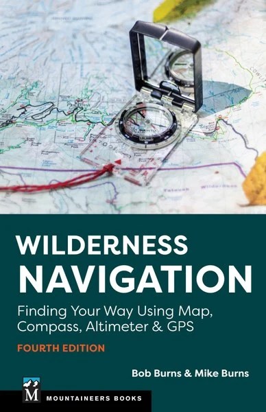


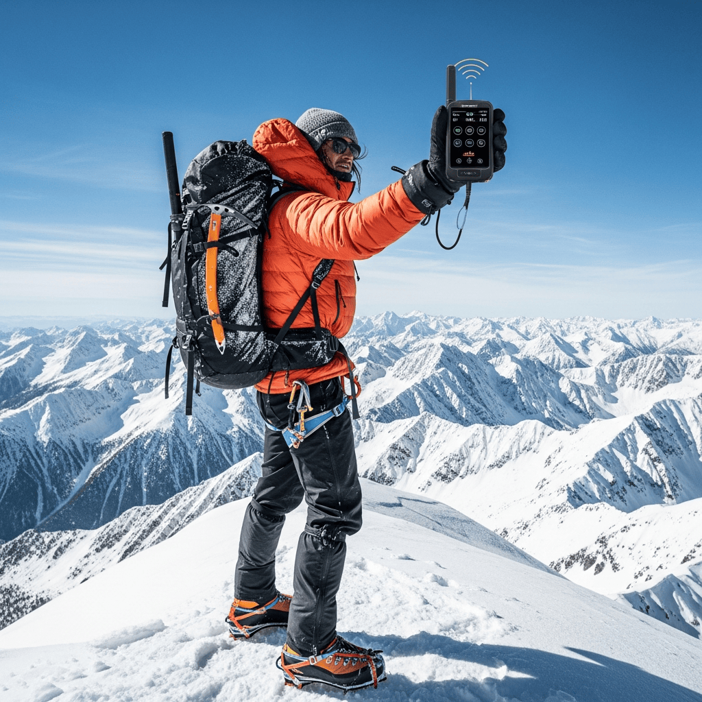
Free Digital Wilderness Navigation Image Navigation Exploration Digital Wilderness Navigation Stockcake . Wilderness Navigation 4th Edition Finding Your Way Using Map Compass WildNav . Wilderness Navigation Made Simple Mastering Compass And Resourceful 71 BUenr26L . Amazon Com Wilderness Navigation Made Simple Mastering Compass And 81FsIj KyIL. SL1500 . 7 Best Satellite Messengers And GPS Trackers For Wilderness Survival Generated Img 1774506908 0



Free Wilderness Navigation Moment Image Explorer Mountains Compass Wilderness Navigation Moment Stockcake . Free Wilderness Navigation Detail Image Compass Adventure Macro Wilderness Navigation Detail Stockcake . Free Wilderness Navigation Guide Image Compass Map Navigation Wilderness Navigation Guide Stockcake . PPT PDF DOWNLOAD Essential Wilderness Navigation A Real World Essential Wilderness Navigation A Real World L . Wilderness Skills Winter Navigation Wayfinding When Electronics Fail Winter Navigation Featured Under2mb


2026 Subaru Outback Wilderness Full Specs Features And Off Road Subaru Outback Wilderness 2026 08 1 209.webp. PPT PDF DOWNLOAD Essential Wilderness Navigation A Real World Link In Last Page L . All New 2026 Subaru Outback And Outback Wilderness Subaru Canada 26TDI OBKWac019 . Free Augmented Wilderness Navigation Image Hiking Futuristic Augmented Wilderness Navigation Stockcake . First Drive 2026 Subaru Outback Stays Competitive But Rivals Close In 2026 Subaru Outback Wilderness Debut 1 1200x900 C


2026 Wilderness Adventures Catalog By Issuu Page 1 Social Preview . Wilderness 2026 EFestivals Wilderness. 2026 Subaru Outback Wilderness Kendall Subaru Of Fairbanks Hero . 2026 Subaru Forester Wilderness Review Built For Adventure AutoNXT Net 2026 Subaru Forester Wilderness4 2048x1229 . Tough New 2026 Subaru Outback Wilderness Unveiled Carsales Com Au 2026 Subaru Outback Wilderness 29


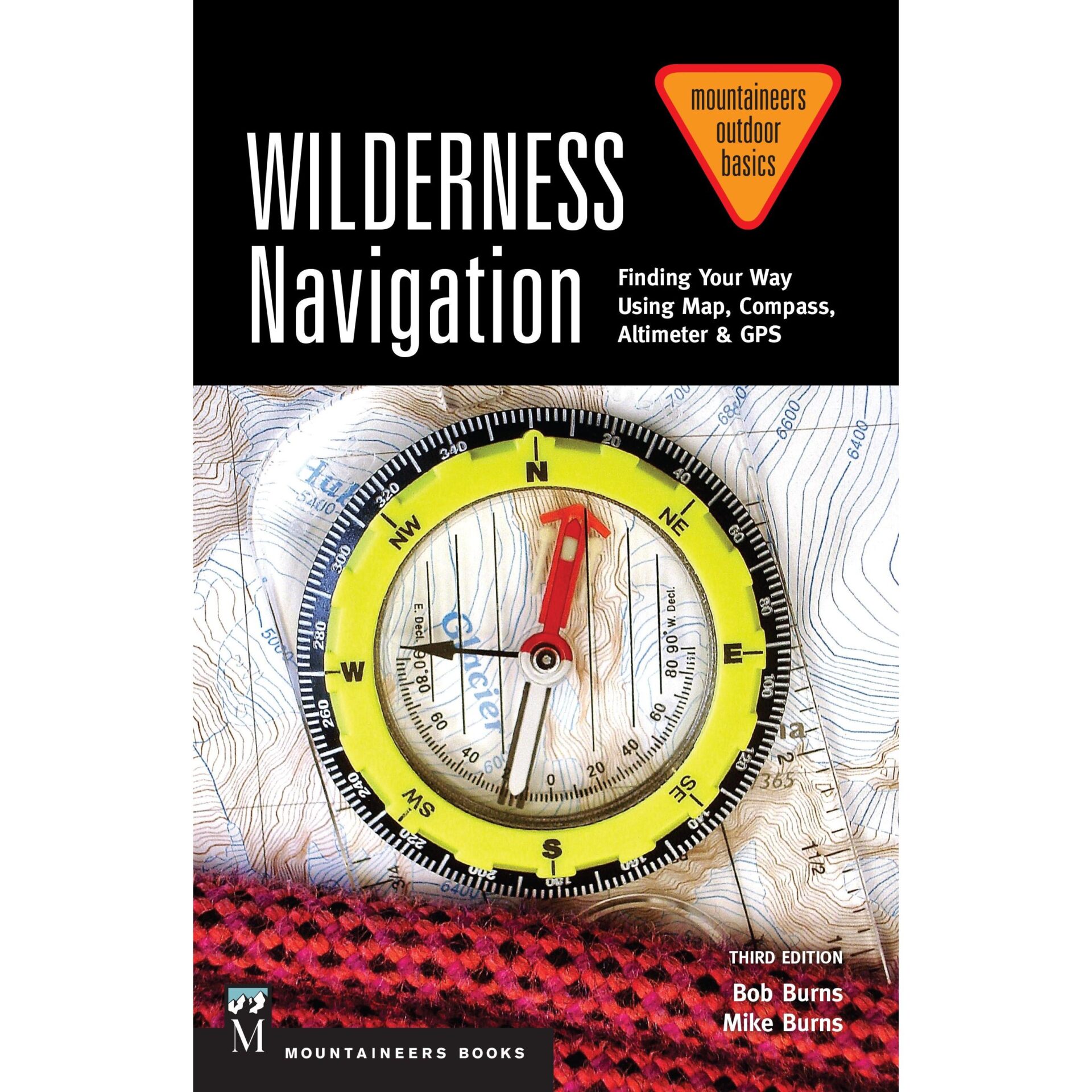
Wilderness Navigation Made Simple Mastering Compass And Resourceful 097b5a2d 1da5 4e93 8a16 PT0 SX970 V1 . Les Toutes Nouvelles Subaru Outback Et Outback Wilderness 2026 2026 Outback Landing Page Banner FR . Free Wilderness Navigation Planning Image Hiking Wilderness Wilderness Navigation Planning Stockcake . 7 Life Changing Skills You Ll Master At Ontario S Workshop Wilderness Wilderness Navigation Training . Wilderness Navigation Finding Your Way Using Map Compass Altimeter 91sEGrl2vL